NASA is bringing you even more closer to planet pluto, this time with a photograph that reveals the dwarf planet’s heart-shaped region called Tombaugh Regio – NASA of course, is not a stranger when it come to parading such images..
During New Horizons’ closest flyby in July, the probe’s Long Range Reconnaissance Imager (LORRI) zoomed in on the area and took photos within 9,550 miles of its surface. The stunning images of Pluto’s ‘heart of darkness’ were unveiled alongside two breathtaking animations showing flyovers of the plains and mountains of the frozen world.
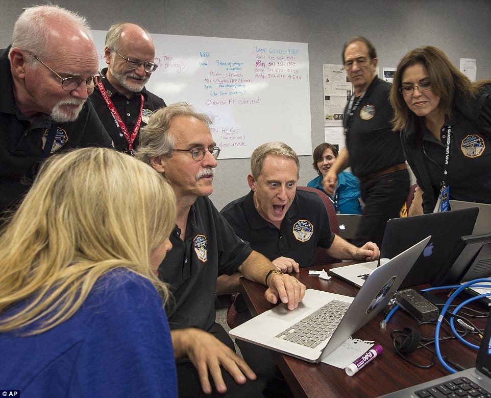
‘I’m a little biased, but I think the solar system saved the best for last,’ New Horizons’ principle investigator, Alan Stern, said during the unveiling.
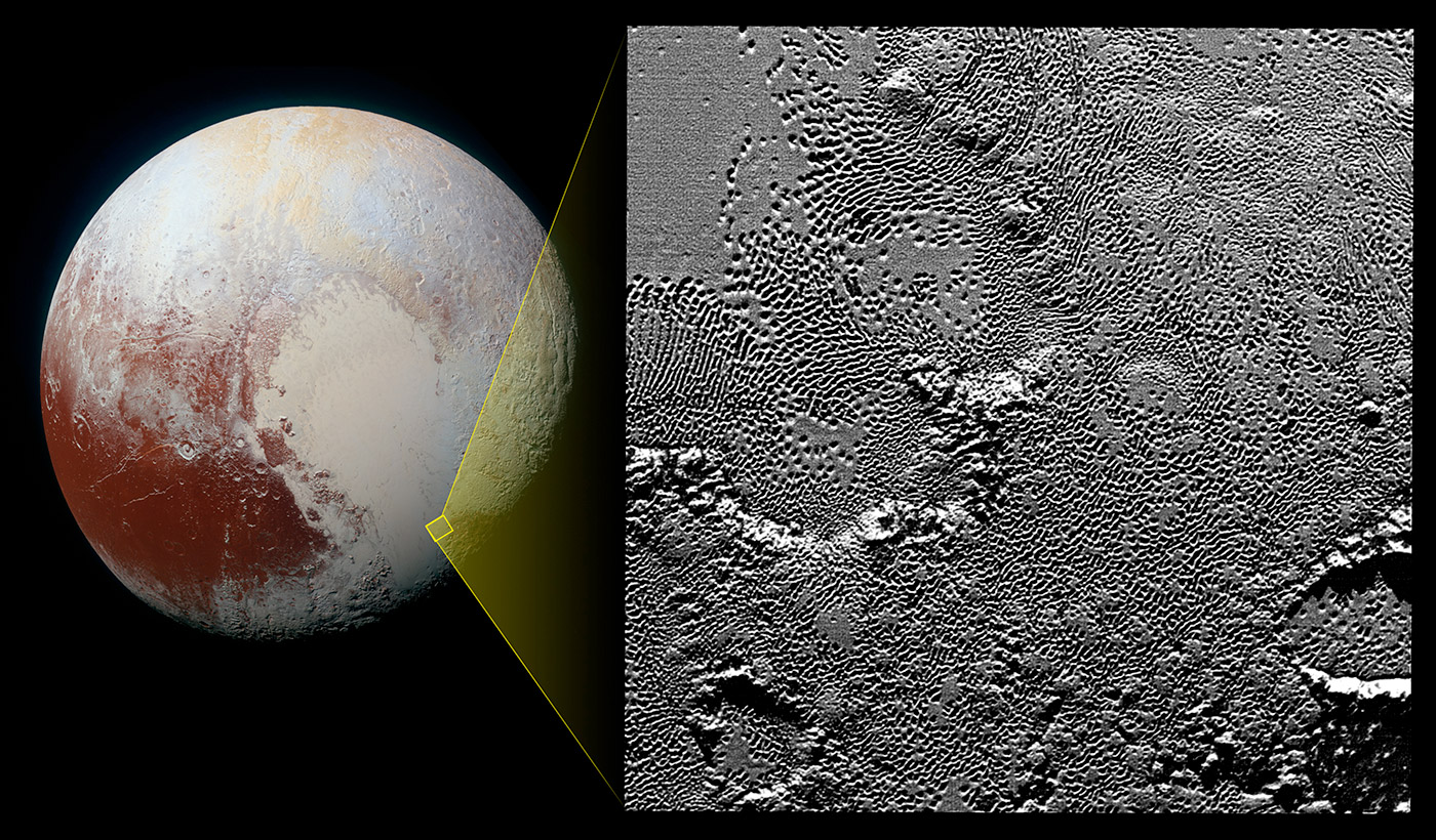
On July 14 the telescopic camera on NASA’s New Horizons spacecraft took the highest resolution images ever obtained of the intricate pattern of “pits” across a section of Pluto’s prominent heart-shaped region, informally named Tombaugh Regio. The image is part of a sequence taken by New Horizons’ Long Range Reconnaissance Imager (LORRI) as the spacecraft passed within 9,550 miles (15,400 kilometers) of Pluto’s surface, just 13 minutes before the time of closest approach. [Image credit: NASA/JHUAPL/SwRI]As you can see, Pluto’s heart is scarred with pits, which New Horizons’ scientists believe may have formed due to “a combination of ice fracturing and evaporation.” These pits seem to follow a pattern, and the team believes it could provide clues on the planet’s ice flow and the exchange of nitrogen between its surface and atmosphere. Whatever secrets the region reveals, this is now how I’ll imagine a scarred heart looks after a number of heartbreaks from now on.
Astrobotic Technology, a private technology company, is planning to land a robot on the moon.
“Whether men have reached the moon” has long been kept to bed as researchers compete to earn a $30 million fortune from Google to beam video back from the moon.
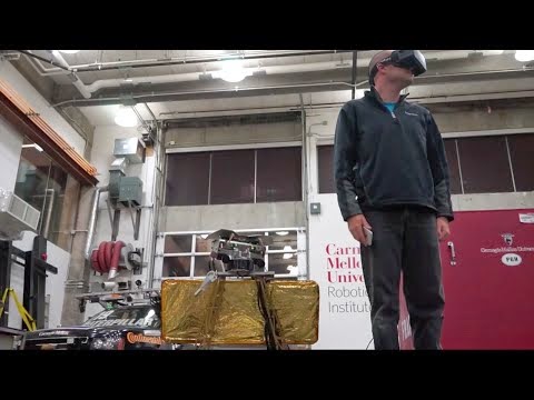
A researcher at Carnegie Mellon University, Daniel Shafrir, and his team want to do something incredible: they want to send a rover to the moon and then let us, the Earthlings, control it and look out of its stereoscopic cameras as it tumbles around that barren alien rock. The researchers are working to win a $30 million prize from Google to beam video back from the moon.
The team, called Astrobotic Technology, has to complete the Google Lunar XPrize, a mission to land a robot on the moon and send live video back to Earth while moving it at least 1,600 feet. As you can imagine, this is harder than it sounds, given that they have to help the robot escape Earth’s orbit.
Shafrir, game designer Ben Boesel, and astronomer Dan Arnett are working together to connect the robot to an Oculus Rift which, in turn, would control the robot. The team said they hope to let children worldwide see what “only 12 other people” have seen on Earth. They will build their lunar lander and fire their little robot, Andy, after Andrew Carnegie, into the stratosphere to pull this off.
Millions of people across North America could have a chance to observe a partial solar eclipse next week, weather permitting.
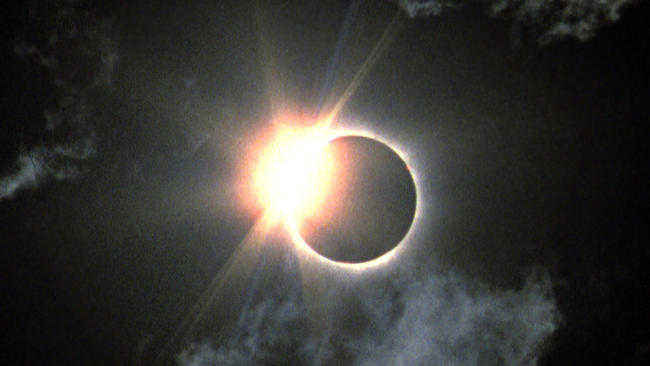
Although the Oct. 23 partial solar eclipse may not be as spectacular as a total eclipse, it is still a beautiful and interesting event to witness. The sight of the moon gradually moving across the face of the sun fills most people with awe. The best views of the eclipse will be in the north, in Alaska and the Canadian arctic, but everyone in North America should see some of it, except in the extreme northeast of the continent. In eastern North America, the eclipse will only be visible near or at sunset, so a low western horizon is essential. Venus is very close to the eclipsed sun, but you will probably need to block the sun from view to spot it.
In some ways, a partial eclipse is the most dangerous to observe. People naturally want to look at it, and this defeats our normal reflex to look away from the sun.
Warning: Never look directly at the sun through binoculars, a telescope or with your unaided eye. Serious eye damage and even blindness can result. Scientists and experienced skywatchers use special filters and glasses to safely observe the sun.
The safest way to view a solar eclipse is by using a pinhole in a piece of cardboard to project the sun. This is particularly effective with an eclipse near sunset, like this one. Punch a hole a couple of millimeters in diameter in the middle of a piece of cardboard, and tape it against a west-facing window. This will project a perfect image of the eclipsed sun on a wall opposite.
Do not use binoculars or telescopes to view the sun unless you have a properly designed solar filter, such as the full aperture solar filters available for all telescopes at any store selling astronomical gear. Do not improvise with home-brew solutions, as permanent eye damage is likely to occur.
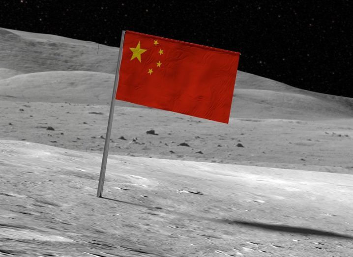
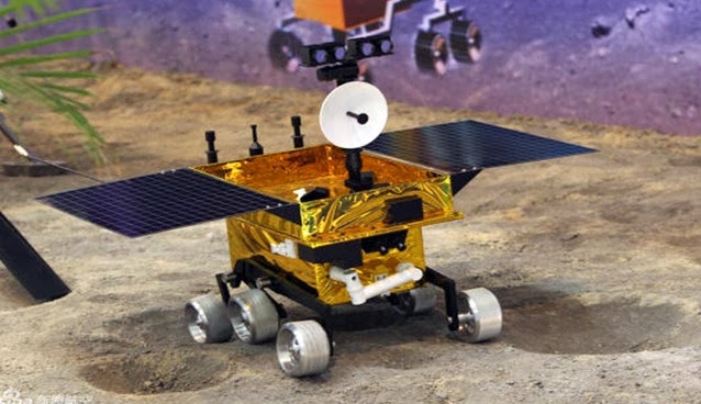
China has joined the U.S. and Russia as one of only three nations to make a controlled soft landing of an unmanned spacecraft on the moon’s surface. https://www.youtube.com/embed/WGNdJ76aG54?feature=player_detailpage China Central Television, the state television broadcaster in mainland China, broadcast the final stage of the mission on Saturday (see above video); it showed the Chang’e-3 successfully touching down on the moon. Carrying a solar-powered moon rover called “Yutu” (Jade Rabbit), CCTV also televised the launch of the Chang’e-3 probe on Dec. 1, as seen in the video, below.
Sending back black-and-white video of the moon’s surface as it made its final descent, the Chang’e-3’s handlers expect to deploy the Yutu moon rover on Sunday.
In an interview with China’s state news agency Xinhua, Sun Huixian, an engineer in charge of the space-probe mission, said, “Compared to the last century’s space race between the United States and the former Soviet Union, mankind’s current return to the moon is more based on curiosity and exploration of the unknown universe … China’s lunar program is an important component of mankind’s activities to explore peaceful use of space.”
The Yutu rover’s mission is to collect high-resolution imagery of the moon’s surface, as well as lunar soil samples, according to Xinhua.
The samples will be returned to Earth by the Chang’e 5 probe, which is scheduled to launch some time before 2015, and to return to China before 2020.News According to Mashable | Image by: China National Space Administration
Ever wondered what the earth might look like when viewed away from the planet? It is always a great filling to see what the planet we live in looks like. Here is your opportunity to browse through image of the earth take from the space.
A description is attached below each image, feel free to share your views and opinion on the comment section. To enlarge any of this images, simply click on it.
1. Florida Keys
Taken Dec. 5, 2003 by the Moderate Resolution Imaging Spectroradiometer (MODIS) on the Aqua satellite.
2. Reefs in Princess Charlotte Bay
Taken April 20, 2013 by the Operational Land Imager (OLI) on Landsat 8. These formations are part of the Great Barrier Reefs in Australia. This area lies on the east coast of Queensland’s Cape York Peninsula.
3. Fires in Cuba and Florida
Taken Feb. 3, 2003 by the Moderate Resolution Imaging Spectroradiometer (MODIS) on the Aqua satellite. Fires are marked in red.
4. Steam Plume from Gaua Volcano
Taken May 31, 2013 by a member of the International Space Station crew using a Nikon digital camera. Located in the Pacific Ocean, Gaua island is the top of a stratovolcano part of the Vanuatu Archipelago.
5. Korangi, Pakistan
Taken April 20, 2013 by a member of the International Space Station crew using a Nikon digital camera.
6. Little Rock, Ark.
Taken May 24, 2013 by a member of the International Space Station crew using a Nikon digital camera.
7. Intersection of the Danube and the Black Sea
Taken Feb. 5, 2013 by the Advanced Land Imager (ALI) on the Earth Observing-1 (EO-1) satellite.
8. Hurricane Sandy
Taken Oct. 30, 2012 by the Visible Infrared Imaging Radiometer Suite (VIIRS) on the Suomi NPP satellite. The image is rotated, looking south from Canada — north is at the bottom of the image.
9. Istanbul at Night
Taken on Aug. 9, 2012 by a member of the International Space Station crew using a Nikon digital camera.
10. Northern Lights
Taken on Sept. 17, 2011 by a member of the International Space Station crew using a Nikon digital camera.
You must be logged in to post a comment.